Examples#
On this page you will find links to examples and projects that ultilize GeoST for managing subsurface data.
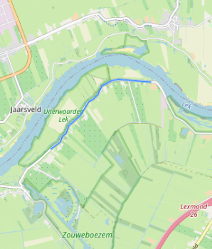
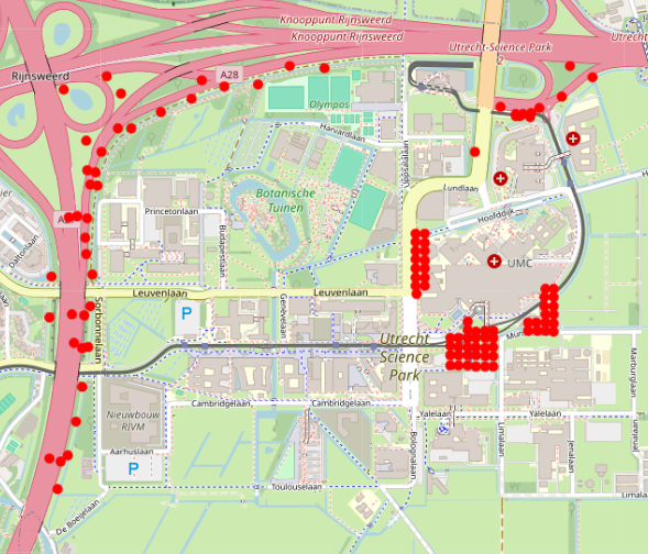
Extract boreholes and CPTs from the BRO database with just a few lines of code.
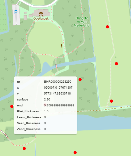
Extract and work with BHR-GT grainsize sample data directly from the BRO
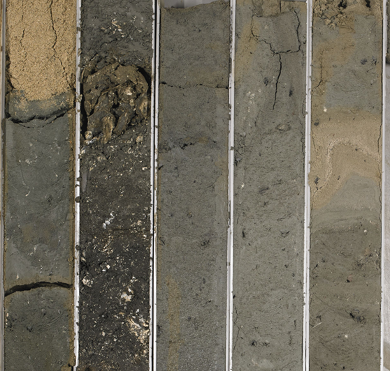
A simple analysis of soil cores that are directly retrieved from the BRO.
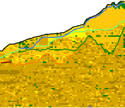
Combining information from a voxelmodel (GeoTOP) with point data (CPTs).
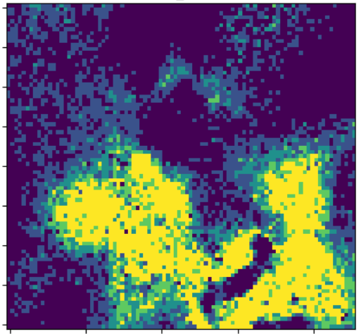
Create thickness maps of GeoTOP units with only a few lines of code.
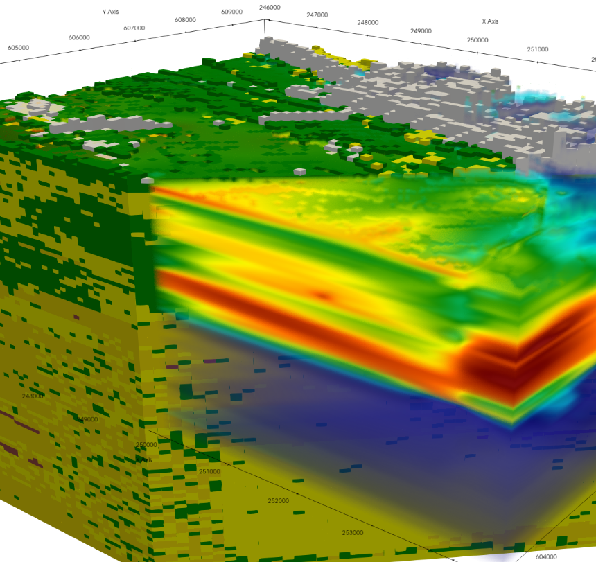
Showcasing GeoST’s VTK export and 3D viewing features powered by PyVista.
Retrieving DIS3.1 from the Deltares OpenDAP server and basic analysis
External examples#
Explore the use of GeoST subsurface modelling and data analysis workflows
Using geological borehole data to predict the thickness of sand using decision tree algorithms provided by scikit-learn.
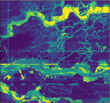
Using geological borehole data to predict the thickness of sand using decision tree algorithms provided by scikit-learn.